Queensland is Australia’s north-eastern state, stretching from a well-served south-east corner — Brisbane, the Gold Coast, the Sunshine Coast — into the wet tropics, the reef lagoon and, further west, inland and gulf country this heritage sample barely touched. Visitors who treat “Queensland” as a single beach week discover that Cairns in February and Coolangatta in February are different trips that happen to share a border.
The useful first split is south-east versus tropical north. The south-east is where domestic aviation, theme-park infrastructure and a dense coastal highway concentrate. The tropical north is where the Great Barrier Reef Marine Park, rainforest ranges and a genuine monsoon calendar take over. North Queensland towns such as Townsville sit in between: still coastal, still a reef gateway for some islands, but not a copy of Cairns and not a copy of Brisbane.
When the state is actually pleasant
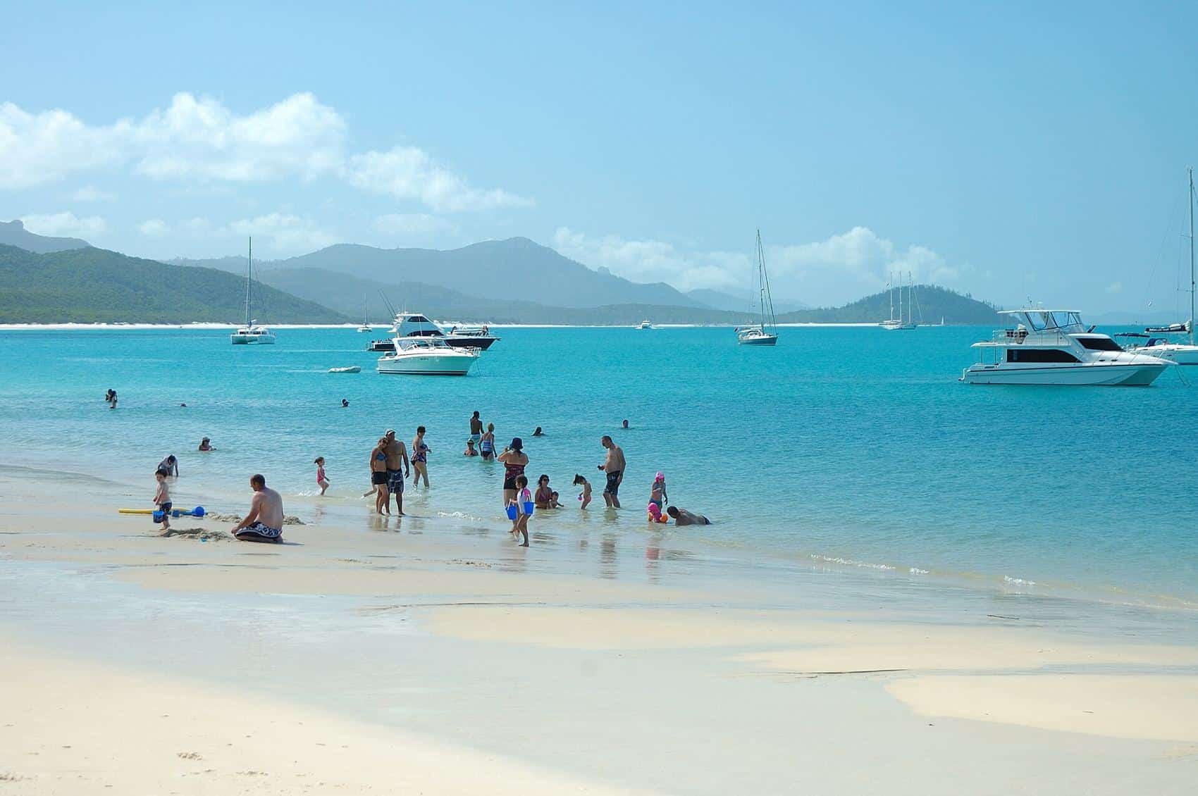
BOM climate maps put far north Queensland in a tropical zone with a wet summer and a drier winter. That is why the conventional visitor window for Cairns, Port Douglas, Cape Tribulation and many reef trips is about May to October: lower humidity, fewer storms, and generally clearer days for boats. It is also why “swimming in tropical waters in summer” is a conversation about marine stingers, not just heat. Local authorities describe a stinger season through the warmer months; patrol flags, vinegar stations and covered water entries are part of that advice.
The Gold Coast and Sunshine Coast are subtropical. Winter is a draw for southern Australians chasing milder water and clearer days. Summer is hot, stormy at times, and busy with school holidays. Brisbane follows that south-east pattern with a river-city overlay: humidity, afternoon storms in summer, and a hinterland (Lamington, Tamborine, the Scenic Rim) that is its own cooler, wetter world.
None of these sentences is a promise of good weather. Cyclones, floods and bushfires all occur in Queensland on the record. Check warnings, ferry notices and park closures in the week you travel.
Gateways and how they sit
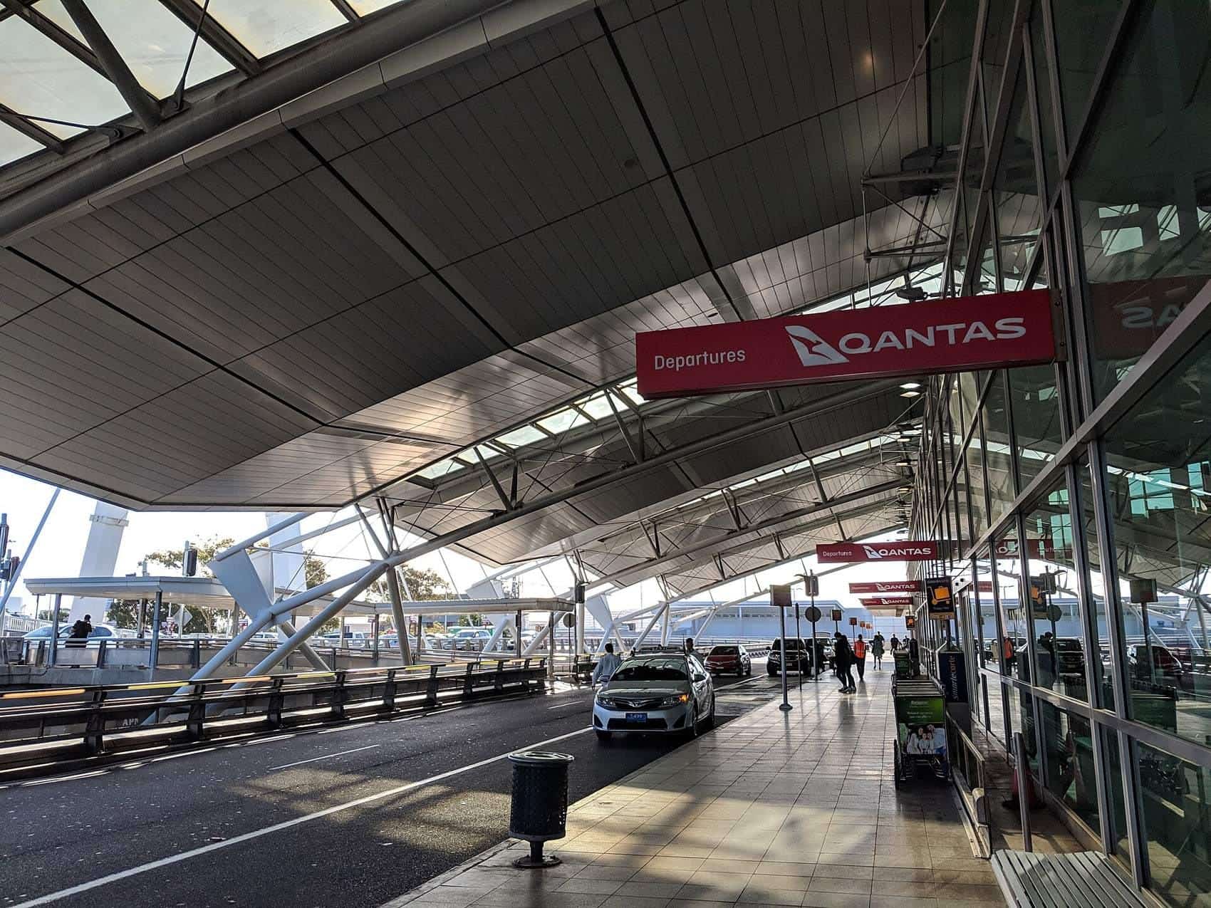
Brisbane Airport is the south-east’s international and domestic hinge. The Gold Coast has its own airport; the Sunshine Coast another. Cairns is the Far North’s aviation hinge and a primary reef-and-rainforest gateway. Townsville and Mackay/Proserpine (for the Whitsundays) matter if your region page is North Queensland or the islands rather than Cairns.
Driving the Bruce Highway looks simple on a map and is a long, real drive in a car. Bundaberg to Cairns is not a casual afternoon. Domestic flights exist because the distances are state-sized. A first visit usually picks one of: south-east coasts, Whitsundays/reef islands, or Cairns–Daintree, rather than all three.
The heritage region pages on this domain
Aust Travel’s Joomla IA already had the right grains. We rewrote them rather than emptying them:
- Queensland Barrier Reef — marine park, gateways, bleaching and zoning as conservation facts, not slogans.
- Brisbane — river city, museums, hinterland day country.
- Far North — wet tropics, Daintree country, Cape Tribulation logic.
- Gold Coast — city-beach-hinterland, not a hotel catalogue.
- North Queensland — Townsville, Magnetic, the dry tropics flavour.
- Sunshine Coast — beaches, Glass House hinterland, Noosa as a place not a brand ranking.
- Gold Coast beaches — surf coast geography distinct from the Gold Coast civic page.
Outback Queensland, the Southern Great Barrier Reef islands and the Fraser/K’gari coast are real regions that this CDX sample did not carry as clean child URLs. They belong in a Queensland conversation; they do not get invented heritage paths.
How long to give Queensland
A week in the south-east can cover Brisbane plus one coast (Gold or Sunshine), with a hinterland day if you do not treat driving time as zero. A week in the Far North can cover a reef day, a rainforest day and recovery time for weather. Two weeks still should not be Brisbane plus Cape York plus the Whitsundays plus inland dinosaur country unless you like airports. Choose a grain from the list above and stay in it.
Respect rules are local: swim between the flags on patrolled beaches, take crocodile warnings in tropical rivers and estuaries as literal, and treat reef and rainforest permits as law. Queensland Parks and Wildlife Service and GBRMPA publish the current version.
Guides in this section
Queensland region
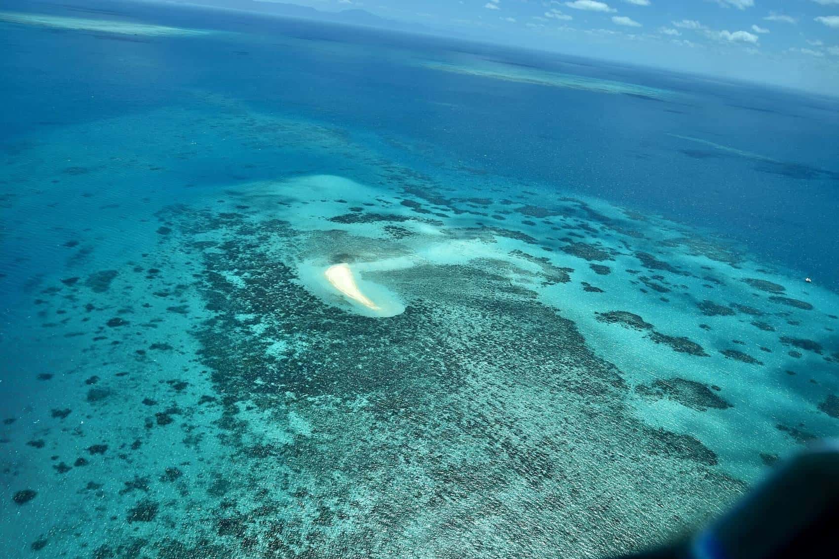
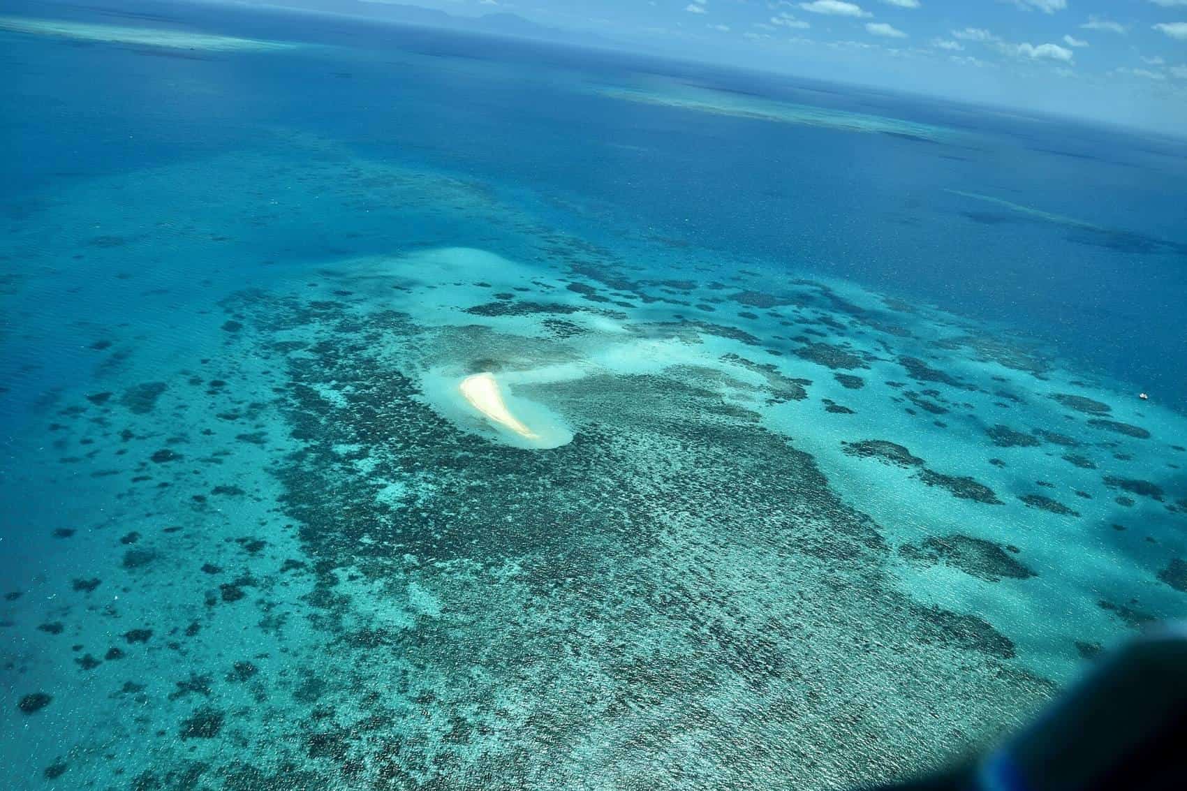
Queensland Barrier Reef region
A rewritten guide to Queensland’s Barrier Reef coast: Cairns, Port Douglas and the Whitsundays as gateways, May–October comfort, marine-park zoning, and what a first week can honestly hold.
Read · 7 min
Queensland region
Brisbane region
Brisbane as a Queensland region: subtropical river city, museums and parks, Scenic Rim hinterland, and how it sits beside the Gold and Sunshine coasts without becoming a hotel list.
Read · 7 min
Queensland region
Far North Queensland
Far North Queensland beyond the pontoon: Wet Tropics rainforest, Daintree and Cape Tribulation logic, crocodile habitat, and a monsoon calendar that is not a vibe.
Read · 9 min
Queensland region
Gold Coast region
The Gold Coast as a region: a high-rise surf city, a hinterland of rainforest ranges, a subtropical calendar, and a beaches child page for the coastal grain.
Read · 7 min
Queensland region
North Queensland
North Queensland around Townsville: dry tropics, Magnetic Island, a different rainfall pattern from Cairns, and reef access that is not a copy of the Far North.
Read · 7 min
Queensland region
Sunshine Coast
Sunshine Coast region: a lower-rise coastal strip than the Gold Coast, hinterland ranges, Glass House peaks, and a subtropical calendar shared with Brisbane.
Read · 7 min
Queensland region
Gold Coast beaches
Gold Coast beaches as their own heritage page: surf versus Broadwater, patrol flags, rips, and how the strip changes from Coolangatta to Southport.
Read · 7 min
Frequently asked questions
Best time to visit Queensland's Barrier Reef region?
The most comfortable window for Queensland’s Barrier Reef coast is the drier, milder stretch from about May to October. Summer is the wet season in the far north, with heat, humidity and marine stingers in tropical waters. Always check marine-park and weather notices before you travel; conditions on the reef change with wind, tides and bleaching events.
Sources and further reading
Facts on this page were checked against these primary and official sources. Conditions change — confirm before you travel or buy.
- Queensland — Tourism and Events Queensland
- Great Barrier Reef Marine Park — GBRMPA
- Queensland Parks and Wildlife Service — Queensland Government
- Climate of Australia — Bureau of Meteorology
- Australia visitor information — Tourism Australia