Australia’s visitor geography is not a neat grid. The names on a political map — six states, two territories — are the right first cut, because climate, roads and park systems still follow those borders. Inside each border the old Aust Travel IA sliced further: Barrier Reef, Gold Coast, Sydney Surrounds, Port Phillip, Kimberley, Top End, Red Centre. Those slices remain useful. They are how you stop a “see Australia” fantasy from becoming a fortnight of check-in desks.
A first-time visitor is usually deciding among a handful of coherent trips, not among every shire. The coherent trips are: an east-coast city plus reef or rainforest; an east-coast city plus Tasmania; a desert-centre journey timed away from extreme heat; a western trip that treats Perth and the South West as one unit, or the Kimberley as another. Mix those units only when you have time measured in months, not airport sandwiches.
The east coast is not one climate
Queensland runs from a subtropical south-east into a true wet-dry tropics. Brisbane and the Gold Coast can be a winter sun trip for southerners; Cairns in February is a different calculation, with monsoon rain, humidity and marine stingers in tropical waters. NSW is temperate on the coast, alpine in the Snowies, and hot-dry west of the divide. Victoria’s south-west coasts and the Otways are a shipwreck and forest climate; inland Victoria bakes. Reading “east coast” as a single season is how people pack the wrong clothes.
If your dates are locked to a northern-hemisphere summer (December–February), southern cities, Tasmania and the south-west of WA are the usual comfortable matches. If your dates are a northern-hemisphere winter (June–August), the tropical north and the desert centre (by day) come into range, while Tasmania is in short days and alpine weather. Shoulder months — April–May and September–October — are when more of the continent is usable at once, which is why they are crowded in parks.
Distance is a planning fact, not atmosphere
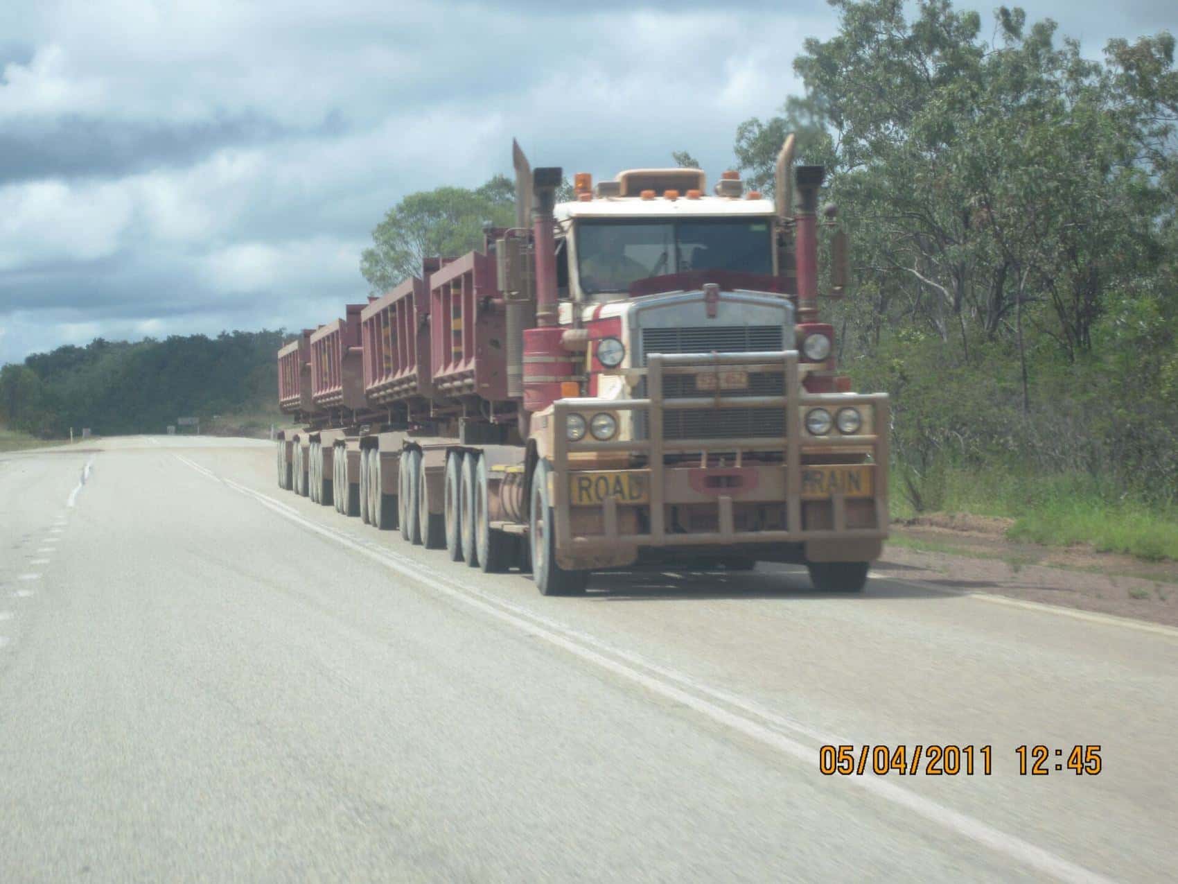
The continent is roughly the scale of the contiguous United States or mainland Europe. Domestic aviation is how most visitors join far-apart hubs. Driving is how they see the country between hubs — coastal NSW, the Great Ocean Road, Tasmania, south-west WA — not how they “do Darwin and Sydney in a weekend”. Fatigue, wildlife at dusk, road trains and long distances between fuel are ordinary features of inland highways. They belong in the plan, not in a surprise.
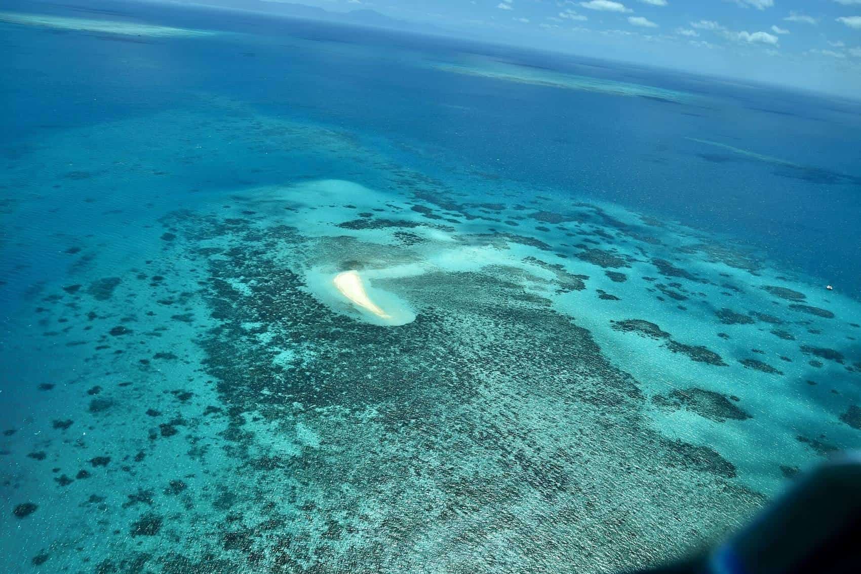
Gateways matter because they concentrate flights, hospitals and hire cars. Sydney, Melbourne, Brisbane, Perth, Adelaide, Cairns, Hobart, Darwin and Alice Springs are not equally interchangeable, but they are the places from which region logic starts. A Barrier Reef week is a Cairns, Port Douglas or Whitsundays week. A Red Centre week is an Alice Springs or Yulara week. A Kimberley week is not a Perth week.
How this hub is organised
Each state and territory page on this site is an 800-word-plus orientation: climate, gateways, the heritage region pages underneath, and the questions that actually change a ticket. Child guides keep the clean Joomla paths:
- Queensland — Barrier Reef, Brisbane, Far North, Gold Coast, North, Sunshine Coast, Gold Coast beaches
- NSW — Sydney, Southern Tablelands, Sydney Surrounds
- Victoria — Melbourne Surrounds, Melbourne, Port Phillip Bay
- Tasmania — South East
- South Australia — Adelaide, Yorke Peninsula
- Western Australia — Kimberley, South West, Perth
- Northern Territory — Top End, Red Centre
That list is the sampled heritage IA, not a claim that other Australian regions do not exist. The Riverina, the Pilbara, the Kimberley’s neighbours, outback Queensland and the ACT all have their own travel logic. They appear in the state essays where they change a decision. They do not get a fake “top attractions” page with invented operators.
First-timer decision tree
- Fix the month. If it is high summer, be cautious about the Top End wet, Kimberley road closures and Red Centre heat. If it is high winter, be cautious about Tasmanian alpine tracks and southern cold snaps.
- Fix the arrival city you can actually fly to without an extra overnight you cannot afford in time.
- Add one contrast, not four. Reef, desert, cool forest or west-coast wine country — pick one.
- Read the park rules for that contrast. Uluru-Kata Tjuta, Kakadu, the Great Barrier Reef Marine Park and Tasmania’s wilderness areas each have cultural and conservation protocols that are not optional colour.
- Leave the rest for another passport stamp. Australia rewards return visits more than heroic first loops.
Where to go next
If you want the practical sequence — visas, driving on the left, camper distances, insurance as a category not a product — open the plan hub. If you want the six questions in answer-first form, open the FAQ. If you already know the state, skip this map and go straight to it.
Frequently asked questions
Which Australian region suits a first-time visitor?
Most first-time visitors are well served by pairing one east-coast city — Sydney or Melbourne — with a second, contrasting landscape: the Queensland Barrier Reef coast, or Tasmania if you prefer cooler walking country. Choose by season first. The tropical north is most comfortable in the drier months, roughly May to October, while southern cities work in more months of the year.
Sources and further reading
Facts on this page were checked against these primary and official sources. Conditions change — confirm before you travel or buy.
- Climate of Australia — Bureau of Meteorology
- Australia visitor information — Tourism Australia
- Parks Australia — Parks Australia
- Smartraveller — Australian Government